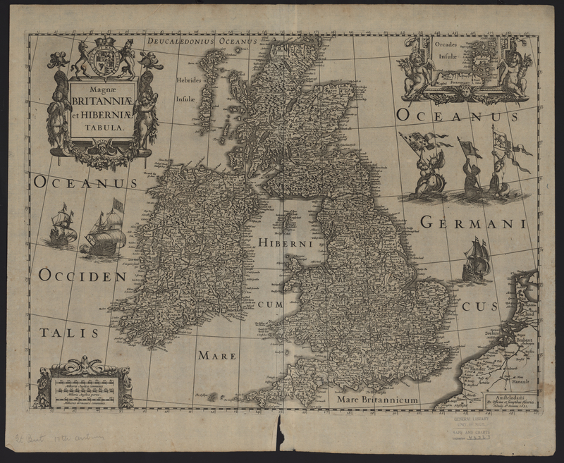
Magnae Britanniae et Hiberniae Tabula
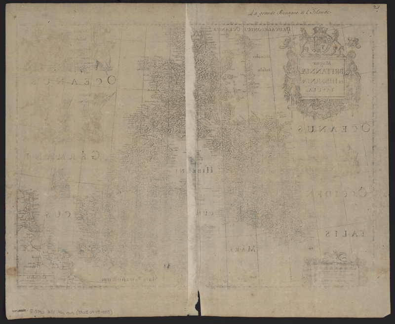
The Magnae Britanniae et Hiberniae Tabula (United Kingdom) was published by Henricus Hondius in 1631 in his Atlantis Maioris Appendix. As this is the only known publication of this particular state, the inclusion of it in this group supports that the Appendices of the British Isles and Northern Europe is a composite atlas, compiled at the request of a patron or at a later date. In accordance with the other maps found in this atlas, the map features the script on the verso "La grande Bretaigne et l'Irelande."

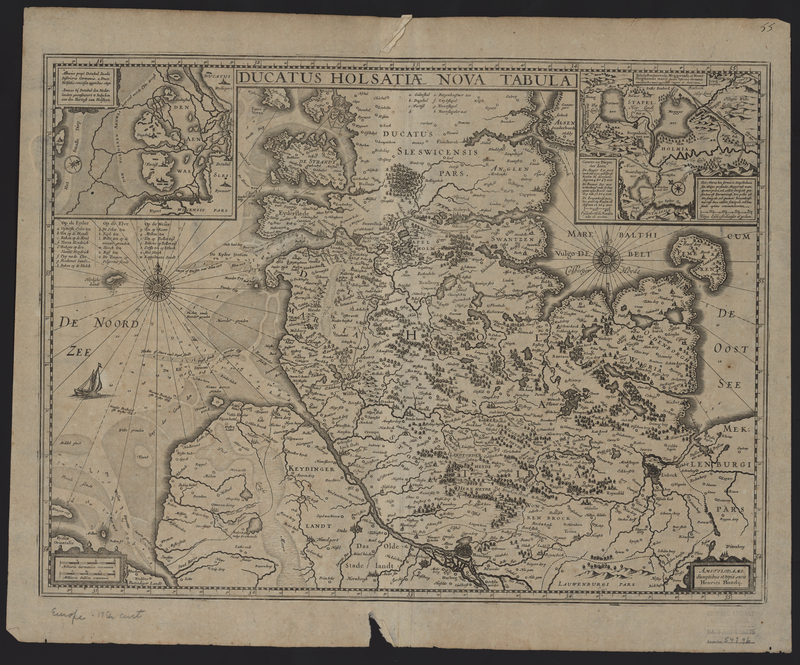
Ducatus Holsatiae Nova tabula

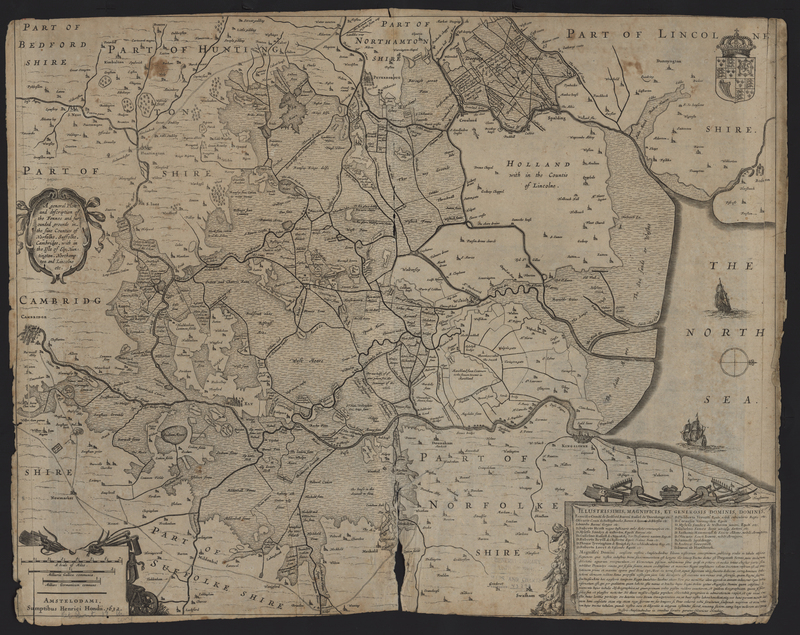
A General Plott and Description of the Fennes


