Orphan Maps
One of the biggest quandaries from this project was the 7 maps from the original set of 188 that did not match any of the other four atlases, informally referred to as the “Orphans.” During the course of our research, every map was carefully cross-checked against Peter van der Krogt’s Koeman’s Atlantes Neerlandici, comparing title, publisher, engraver, and more. This comparison allowed us to determine the possible provenance, rarity, and if there was a bibliographic agreement. While most of the maps matched van der Krogt’s descriptions, 45 maps from the Vignaud Map Collection did not. These “variant” maps fell into two distinct groupings, (1) those with no direct match in the bibliographic sources, but with the same environmental effects as one of the re-assembled atlases and (2) a separate series with no bibliographic match and no corresponding physical characteristics.
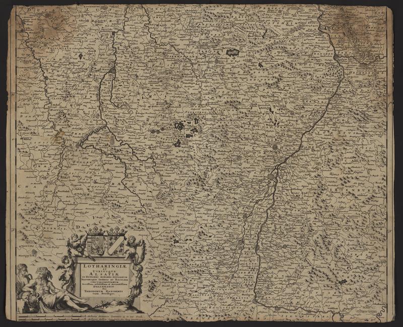
The most exciting and surprising discovery of our research was the 45 variant maps. While none of the maps from the first group, mentioned above, match any of the editions listed in van der Krogt, 35 of them have physical traits that do match either the Appendix Atlas of 1636-1680 (Ms1) or Appendix Atlas of the British Isles and Northern Europe (Ms3). The second group consists of 7 “Orphan” maps that do not match any editions listed in van der Krogt, nor do they share any of the physical characteristics found in the 4 atlases that we re-created. With this in mind, we will do a more detailed analysis of the paper to see what further conclusions can be made.
The fact that Vignaud had these maps, which do not fit physically or bibliographically with the 4 re-created atlases, more than likely means that he acquired all 188 of these maps in an unbound state. It’s unlikely that Vignaud himself would have disbound them. If he had done so, then in theory the 4 atlases would be complete volumes, or at least more complete. Unfortunately, as a catalog of Vignaud’s library and acquisitions does not seem to exist, we can only guess at the details of how or why he acquired these maps. Given Vignaud's deep knowledge of maps and the history of cartography, it is safe to assume he had a special interest in Dutch maps from the Golden Age and that he recognized these maps as being unusual and rare.
Due to the fact that the holdings data in van der Krogt was aggregated from a survey of libraries’ holdings and does not include private collectors, we cannot be certain that there are no other exact copies of these variant maps. Regardless, they are very rare and the Clark Library is fortunate to have them in our collection. It’s difficult to know why there are so few or any other copies of the “Orphan” maps. Some possibilities are that they were early copies purchased before the publisher could use them in an atlas, or that they became outdated and therefore remained as unused stock in the printer’s shop, until they were later sold. Unfortunately, it is likely that we will never know with certainty the entire provenance of these maps, but because of this and their significance in the history of 17th century Dutch cartography they are some of the most important maps in our collection.
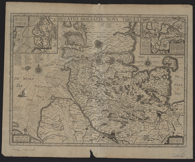
Appendices of the British Isles and Northern Europe (Ms3)

Impact and Stewardship