Composite Atlas of France (RC)
Arguably the most distinct collection of maps to come from this project was the group colloquially referred to as “Red Chalk” or formally entitled The Composite Atlas of France. A composite atlas, this compilation is composed of approximately 35 maps depicting regions of France (Galliae).
Composite atlases were not unusual in the 17th century, as patrons often commissioned atlases where the contents and collation were determined by the patron. Similarly, maps were occasionally bound into temporary bindings and at a later date removed and bound again into a permanent volume. As such, a variety of maps would be used in the volume, including maps from many different publishers.
In this case, the atlas contains works by Jodocus and Henricus Hondius, and French cartographers Damien de Templeux, Jean Le Clerc, and Maurice Bouguereau, among others. The diversity of maps and publishers makes it difficult to determine publisher and publication date. It also means that an official title for the volume is not known. The title for this volume was created by the Clark Library to represent this unique compilation.
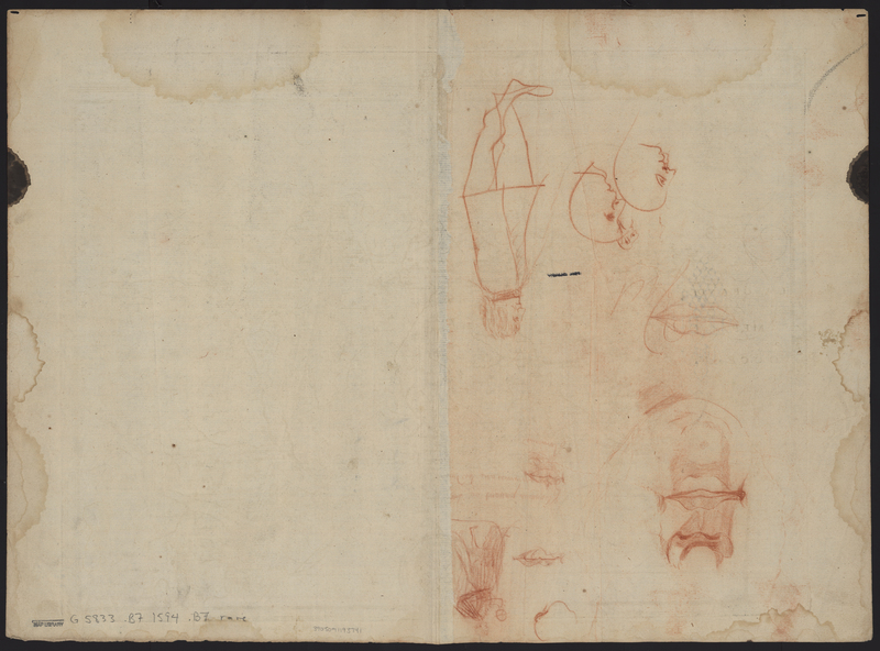
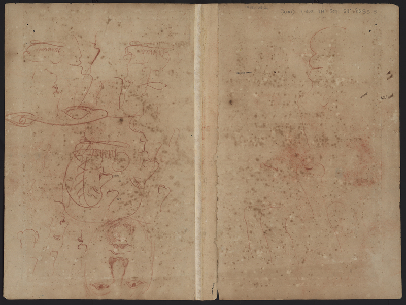
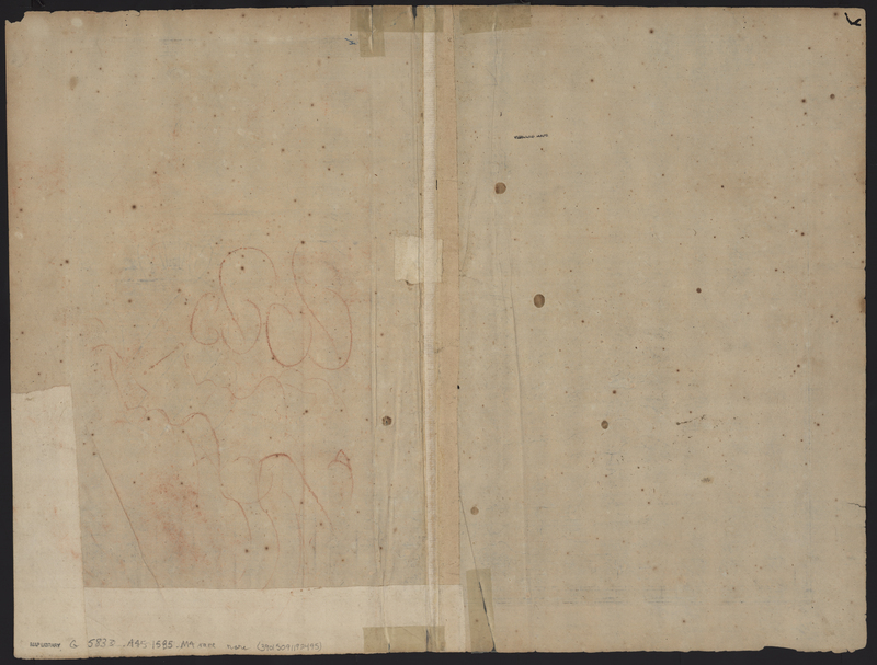
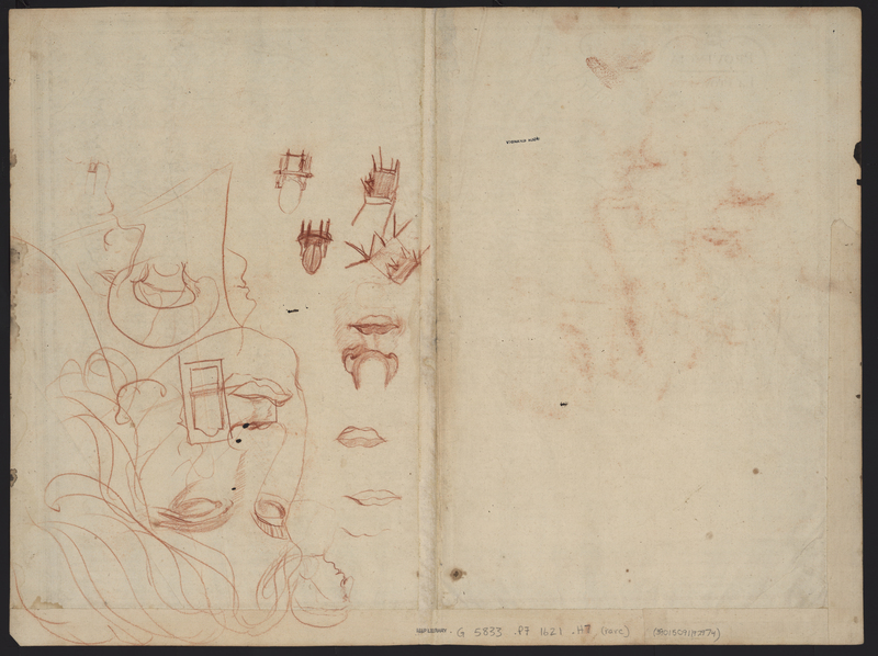
The most distinct feature of this particular composite atlas is the collection of red chalk drawings found on the verso of the maps. There are several factors that suggest the maps were bound together and at a later date an unknown individual or individuals used the blank versos to practice their penmanship and drawing skills.
The profiles and figures found on many of the versos feature Roman noses, which were characteristic of the 18th century. Given the orientation and the manner of drawings, it suggests that the maps were drawn upon while they were still bound.
Also, the transference of red chalk to other maps indicated that these maps were stored together after the chalk was applied. Additionally, corresponding wormholes in the upper right and left corners of several of the maps indicate that the maps were bound at that time. The depth of the holes also helps to indicate the sequence of the maps at the time.
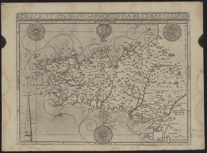
Description du Pays Armorique...
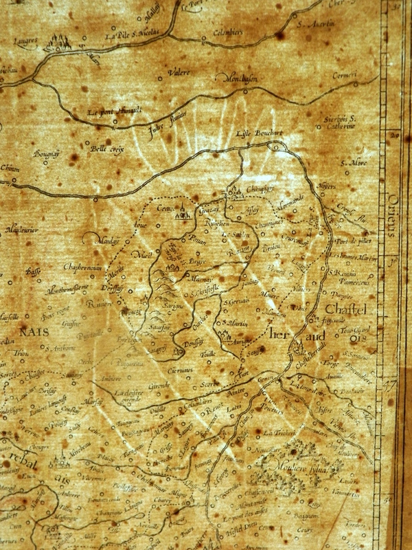
The Description du pays armorique a près Bretaigne (Brittany, France) from the Composite Atlas of France is an example of the style of maps published by Maurice Bouguereau. As can be seen this style of engraving varies significantly from that employed by the Hondius and Janssonius families. This particular state was first pubished in 1619 in Jean LeClerc's Theatre Geographique du Royaume de France. Maurice Bouguereau was a French publisher in Paris.
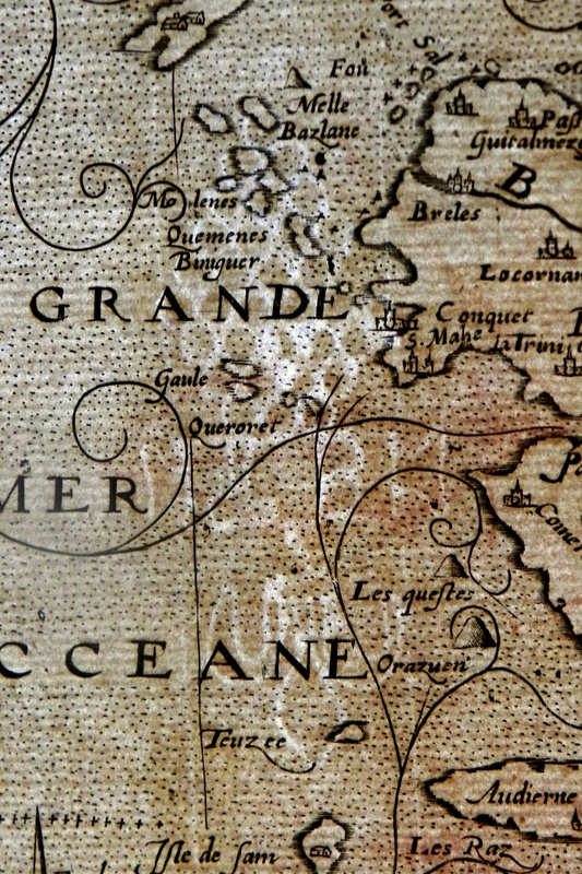
This particular map features the coat of arms of Brittany, but also bears symmetrical ink stains and tide stains, demonstrating that the map was folded and bound into a larger volume at the time that it was stained. A distinctive watermark featuring grapes and a fleur de lis can be found on the left side of the map. In addition it is evident by a set of drawings that someone used the blank verso to practice their figure drawing skills. However, the drawings are only on the right side of the verso, suggesting that the map was bound at the time that the drawings were made.
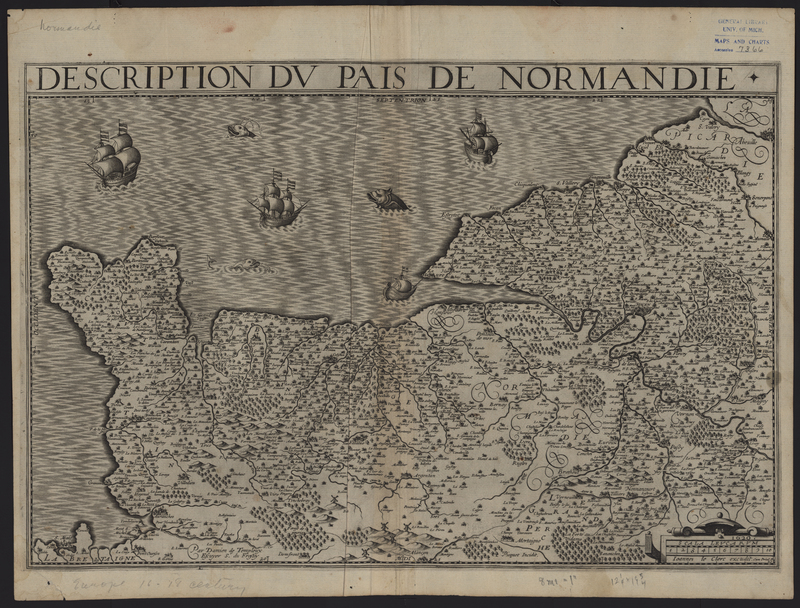
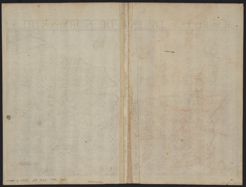
Description du Pais de Normandie
The Description de Pais de Normandie (Normandy, France) from the Composite Atlas of France was first published by Jean LeClerc in his Theatre Geographique du Royaume de France in 1620. The map features the inscription "1620. Ioannes le Clec excudit. cum Privil. R." This particular map was engraved by Damien de Templeux, Sieur de Fresnoy, who engraved maps for LeClerc, Maurice Tavernier, Johannes Janssonius, and others.
This particular map features a similar style of engraving as the Description du pays armorique a près Bretaigne. However, it does not include many of the same physical features. Along the top edge of the map it is possible to see tide stains, but these are different than the previous map, demonstrating that they were not bound together at the time of either staining. In addition the right verso of this map bears smudges of red chalk, indicating that it was against another map with red chalk that rubbed onto the former. The difference in staining and red chalk transfer suggests that the maps were bound in separate volumes, removed, and rebound into the same volume.
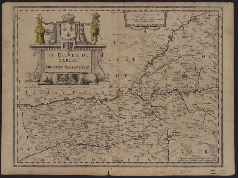
Le Diocese de Sarlat
The Le Diocese de Sarlat (Dordogne, France) was a map published between 1631 and 1637 by Henricus Hondius and sold by Melchoir Tavernier in his Paris shop. Typically this map also features an inscription which reads "Delineabat Joannes Tardo, canonicus Ecclessiae Sarlati 1625." Interestingly the map featured in this exhibit lacks the inscription, making this particular state a previously undocumented state. As there is no evidence that the inscription was either pounded or scratched out of the copper plate, it is likely that this state predates the other documented state which was first published in 1631.
While the Vignaud Map Collection includes other states of Le Diocese de Sarlat, this particular edition was included in the Composite Atlas of France, and is fascinating due to the presence of two characteristics on the map. The title cartouche features two figures which have been colored with a vibrant yellow. At the same time, the verso is equally interesting due to the presence of red chalk drawings and penmanship. It appears that someone used the blank verso to practice drawing silhouettes, while also working on their signature.
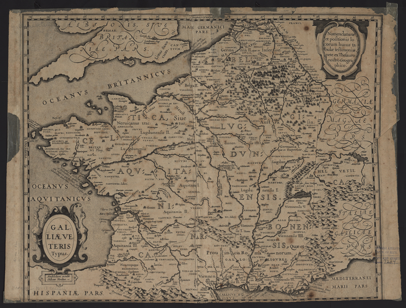
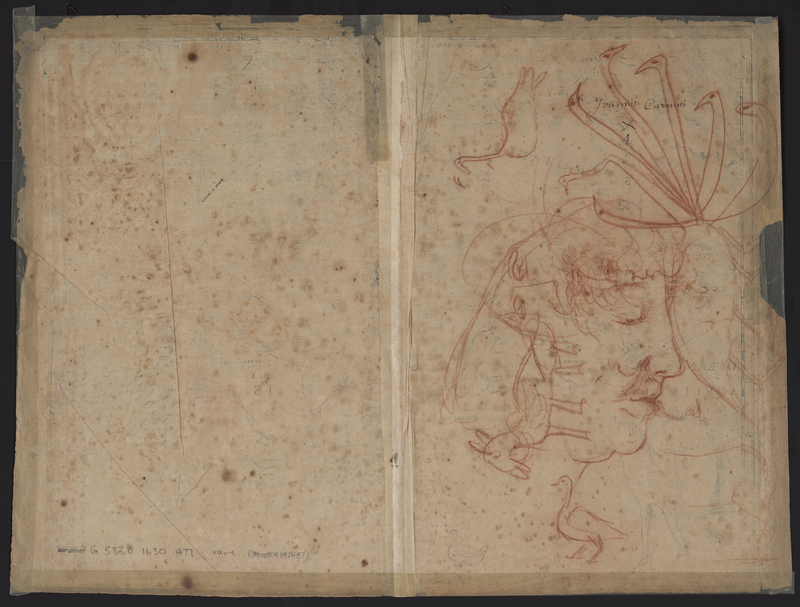
Galliae Veteris Typus
The Galliae Veteris Typus (France) from the Composite Atlas of France was first published in 1630 by Jodocus Hondius Jr. and was republished in other atlases until 1633. As with the previous maps in the Composite Atlas of France this map was also used for drawing practice. The right verso of the map features red chalk drawings of a face and animals. Underneath the red chalk is a signature, reading "Younnis Carnah X 4" made in iron gall ink, indicating someone practiced their signature on the blank verso before it was later used for sketching.
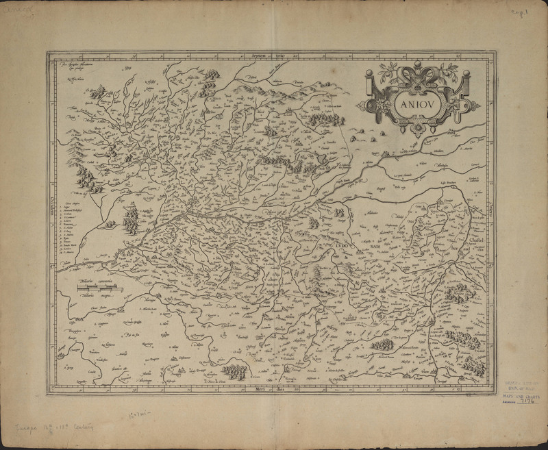
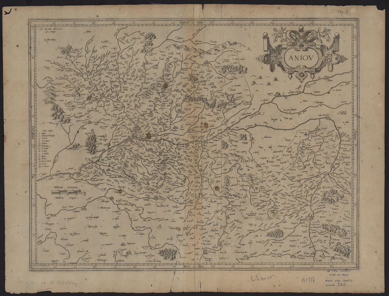
Aniou
The Aniou (Anjou, France) map from the Composite Atlas of France was originally published by Gerhard Mercator. Jodocus Hondius Sr. purchased Gerhard Mercator's copper engraving plates in 1604, and Hondius built his fame upon the continued publication of the Mercator-Hondius Atlas. As this map bears the publisher inscription of Gerhard Mercator it is difficult to definitively determine the publication date of this state.
This particular map features red chalk drawings on the verso, but more interestingly it appears the map was repaired after it was removed from its binding. The repairs cover part of the red chalk drawings, suggesting that the map was used for drawing practice while it was still bound, and after it was removed from the broken atlas the map was repaired. In addition, a watermark of a coat of arms is located on the right side of the map.
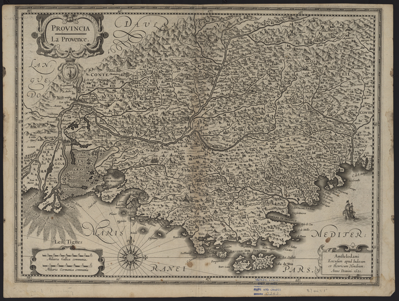
Provincia: La Provence
Provincia: La Provence (Provence, France) was published by Henricus Hondius in 1621, but was only published in Johannes Janssonius's Theatrum Universae Galliae of 1631-33. This map stands out from the others in the group due to the layering and characteristics found on the verso. With the previous maps it has been apparent that the red chalk drawings were done while the map was still bound in the atlas. However, this is not the case with this map. Along the bottom and right edge of the verso are a series of repairs, but they cover the bottom of the guard, indicating that the map was removed from the broken atlas before it was fixed. Additionally in this case the red chalk drawings stray onto the repairs, proving that the red chalk drawings were not added until the map was removed from the atlas and stored flat.
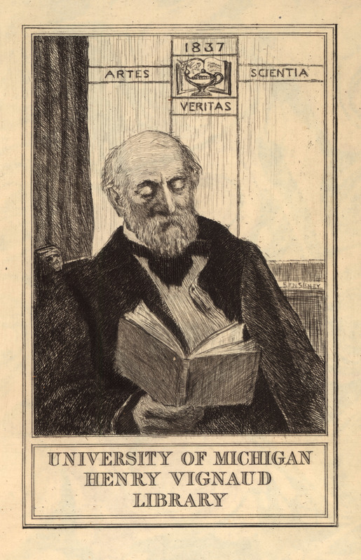
Mr. Henry Vignaud and His Library
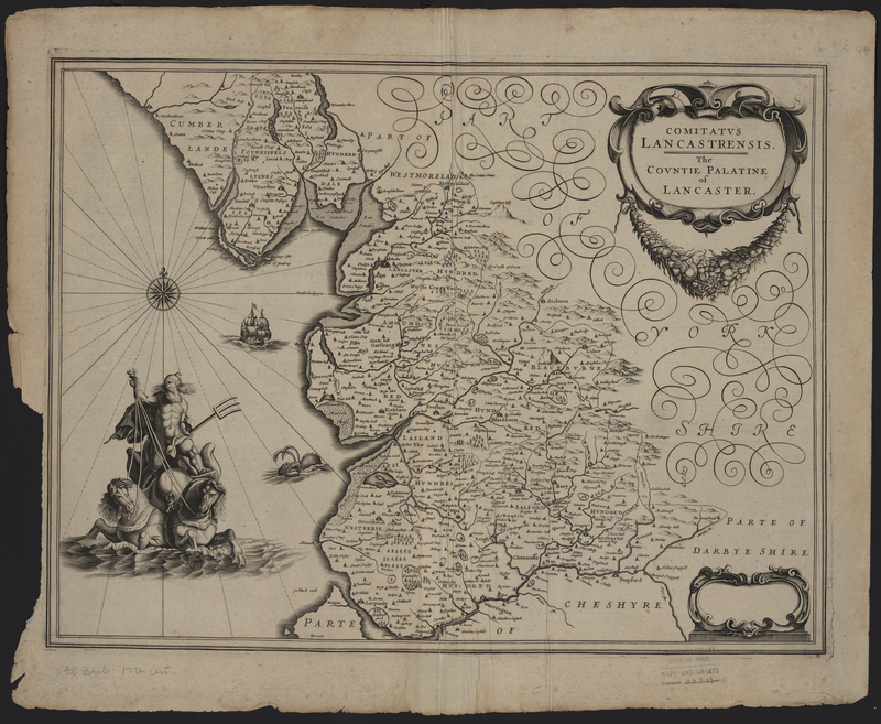
Appendix Atlas of 1636-1680 (Ms1)

