The Great Trigonometrical Survey
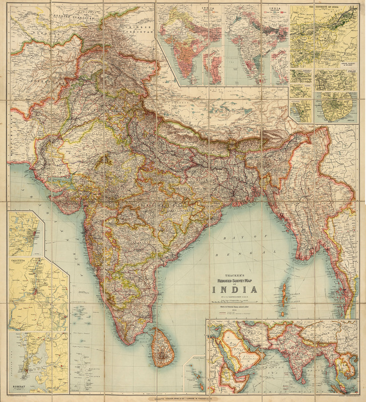
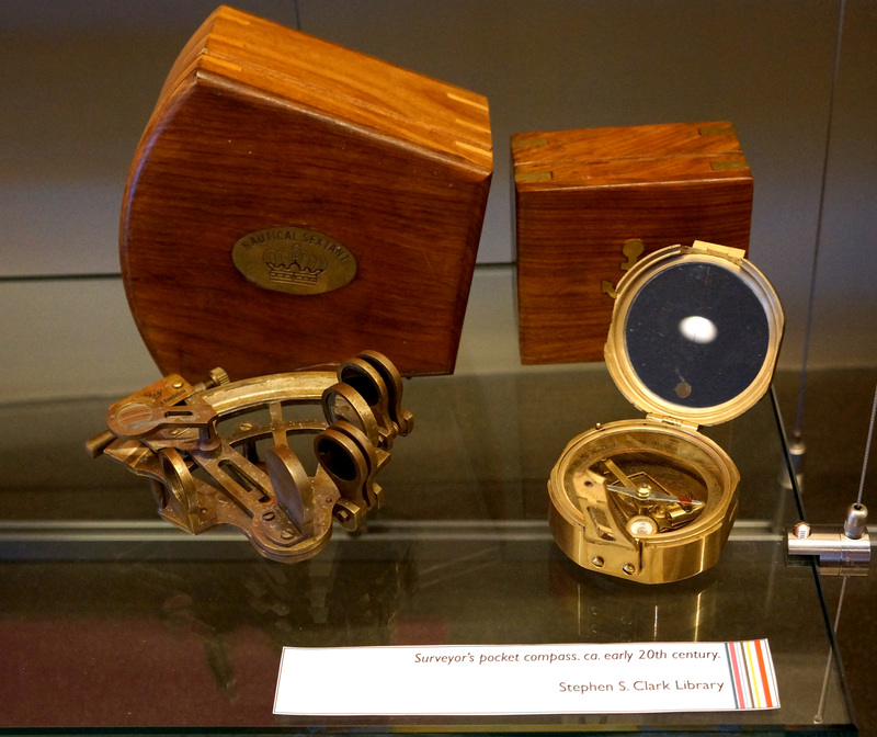
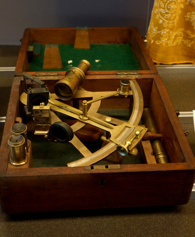
The Great Trigonometrical Survey (GTS) was a part of the larger Survey of India. Whereas the Survey of India acquired geographical information mostly through “route surveys” (like the recordings of the pundits) the GTS created more scientific maps that were created through the use of instruments. William Lambton, the prime mover of the Great Trigonometrical Survey, had a special theodolite (a surveying instrument with a rotating telescope for measuring horizontal and vertical angles) shipped to India from Britain. At one point the ship that carried this great theodolite was actually captured by the French, who graciously repacked it and sent it on.
Making maps with delicate instruments gave a greater credence to the maps produced. The emphasis on precision was almost fetishistic. There are many historians who feel that this emphasis was also a way of exerting control as well as promoting the imperialist agenda. This can be seen in the use of imagery in many of the cartouches in this exhibit. There are clear examples of Indians giving obeisance to the symbols of Britain.
It’s surprising but true that cartography in the 19th century in India was actually the most advanced in the world. Other nations, such as Britain, were not mapped to the extent that India was.
Aside from the precisionist aspect of the Great Trigonometrical Survey it should be noted that there was always a strong element of control in the mapping of South Asia. As Ian Barrow states: “there was a sense among surveyors and the [East India Company]'s high bureaucracy that trigonometrical mapping would enhance the reputation of the Company as an enlightened patron because of its rigorous and scientific nature…. This rhetoric of scientific progress and improvement was a significant factor contributing to the character of colonial rule in India during the nineteenth century. The Survey not only helped the state gather information and knowledge, it also --and this was its greatest advantage over route surveys-- added legitimacy to colonial rule by making it seem that this form of science in India would not only result in India’s progress but would also improve geodesy.” (Ian J. Barrow, Making History, Drawing Territory, p. 83-84)

Surveying Maps


