Colonization
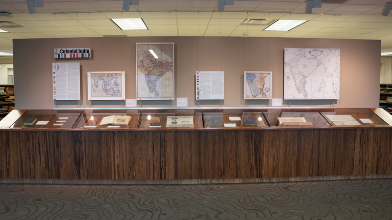
In many of the maps of South Asia there are conventions concerning the way information was presented. Many of the British maps indicate British “ownership” by the color red. Often different typeface sizes were used in order to downplay other nations’ possessions. Of course, there are also out and out lies such as marking a territory as one’s own when it was really disputed.
Even though many maps do not specifically mention the military, in many cases it is clear that there are tactical considerations built into the maps. Often forts are labeled and commonly there are depictions of important cities, towns and garrisons. At first glance this appears to be a decorative device, but after careful examination it seems clear that the illustrations are strategic for the planning of assaults.
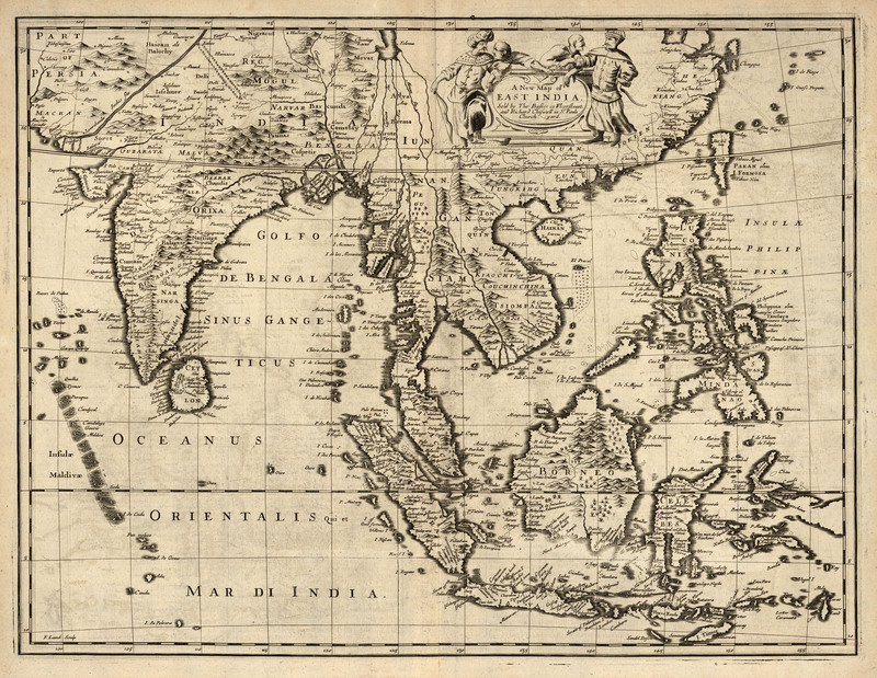
One other fascinating element of maps is their inclusion of fictional or non-existent geographic features. Some early maps have relatively less information with large empty areas, but some cartographers chose to fill these unknown lands with fanciful or legendary geographical features which were then perpetuated for years in other maps. An example of this is the depiction of the Ganges. Mapmakers were obsessed with the origin of the Ganges, and many early modern maps based on travelers’ tales and ancient geographies posited that it and other major rivers of South and Southeast Asia flowed from Lake Chiamay northeast of the Bay of Bengal (see A New Map of East Asia by John Speed). The only problem is that the lake didn’t exist, yet it continued to be depicted on many maps for many years.
Great Britain's Effect
Many British authors published volumes of the observations that they made of South Asian culture. Works such as Curry & Rice and Behind the Bungalow were meant to be quaint portraits of Indian village life but actually are more indicative of the prejudices of the colonial mindset. Notwithstanding this prejudicial viewpoint, it is nevertheless amusing to see some of the cultural conflicts. For example, the author of Behind the Bungalow is particularly exasperated by his butler’s inability to value symmetry: “So some men are tortured by every violation of symmetry, while some cannot discern a straight line. I belong to the former class, and my Butler belongs to the latter. He would lay the table in a way which almost gave me a crick in the neck, and certainly dislocated my temper, and he would not see that there was anything wrong…At last a gleam of light passed over his countenance. Yes, he understood it all; it was very simple; henceforth I should find everything straight. And here is the result! He has arranged everything with the utmost regularity, guiding himself by the creases in the tablecloth; but, unfortunately, he began by laying the cloth itself slantwise; consequently, I find myself with my back to one corner of the rooms and my face to another, and cannot get rid of the feeling that everything on the table is slightly worse for liquor" (p. 35-36). Obviously the master/servant relationship was complicated by cultural habits, but also somewhat comical in this author’s depiction.
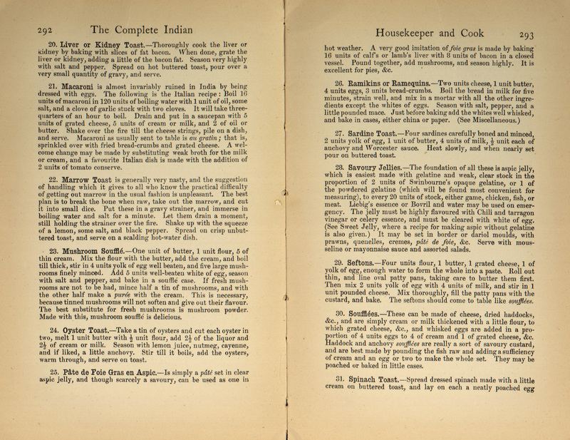
Many of the British in South Asia, rather than absorb some cultural aspects of the country, clung to old habits in areas such as dress, etiquette and food. It is especially interesting to examine the cookbooks of the 19th century in order to get an ideal of “household management” at the time, as well as their culinary arts. Eliza Fay, in her book Original Letters from India states: “We were very frequently told in England, you know, that the heat of Bengal destroyed the appetite…I must own that I never saw any proof of that: on the contrary, I cannot help thinking that I never saw an equal quantity of victuals consumed. We dine too at two o’clock in the very heat of the day …I will give you our bill of fare…A soup, a roast fowl, curry and rice, a mutton pie, a fore-quarter of lamb, a rice pudding, tarts, very good cheese, fresh churned butter, fine bread, excellent Medeira (that is expensive but eatables are very cheap)” (Fay, p. 140).
This overeating was basically a form of conspicuous consumption (no pun intended) whereby the British ability to gormandize was considered a statement of their superiority. In the words of Dipesh Chakrabarty in his Rethinking Working-Class History, Bengal 1890-1940: “eating was a ritualized expression of a colonial ruling-class culture… signifying… excess and plenitude” (Chakrabarty, p. 167).
Hand in hand with the exalting of the British diet, there were many critics of Indian cuisine. Much of the discussion centered on the weakening effect that rice had on one’s health. The British seemed particularly prone to judge vegetarianism as being enervating. It is ironic that in modern times this diet has been seen very clearly to have health benefits.
Colonial Maps
A New Map of East India, 1676
This is a single plate from John Speed’s 1676 Atlas, A Prospect of the Most Famous Parts of the World. It shows the East Indies, covering India, Burma, Siam, the Malayan Peninsula, Indonesia, and the Philippines. On the back there is a detailed description of India, in English. This map is also available in an electronic version via the Internet at: http://nla.gov.au/nla.map-rm310.
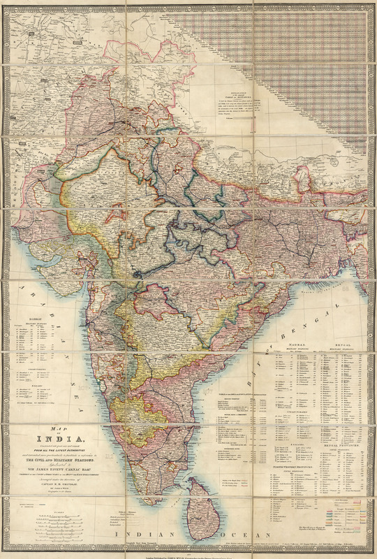
Map of India: Constructed with Great Care and Research from All the Latest Authorities and Intended More Particularly to Facilitate a Reference to the Civil and Military Stations, 1876
According to the inscription: "This map will serve to illustrate the Dispatches of the Duke of Wellington." It shows the routes of completed railways; table of distances; a table of the area and population of Hindoostan; lists of military stations, civil stations, collectorates, and zillahs; and distances to civil and military stations. The map is: “Dedicated to Sir James Rivett Carnac Bar[one]t, chairman of the Court of Directors of the Hon[ora]ble the East India Company."
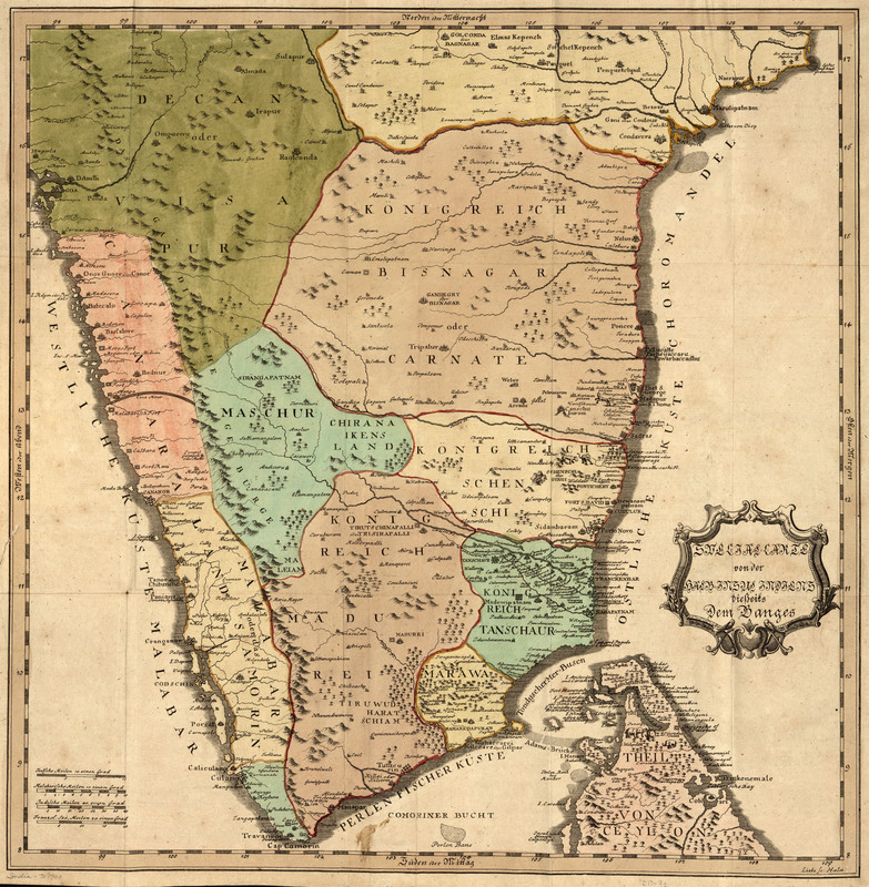
Special-Carte von der halb-insel Indiens dieserts dem Ganges, 1740
This German map was originally drawn for Kurtzgefasste Missions Geschichte v.1. The foreword states that the map is improved from De L'Isle's. It includes pictorial images of animals and trees.
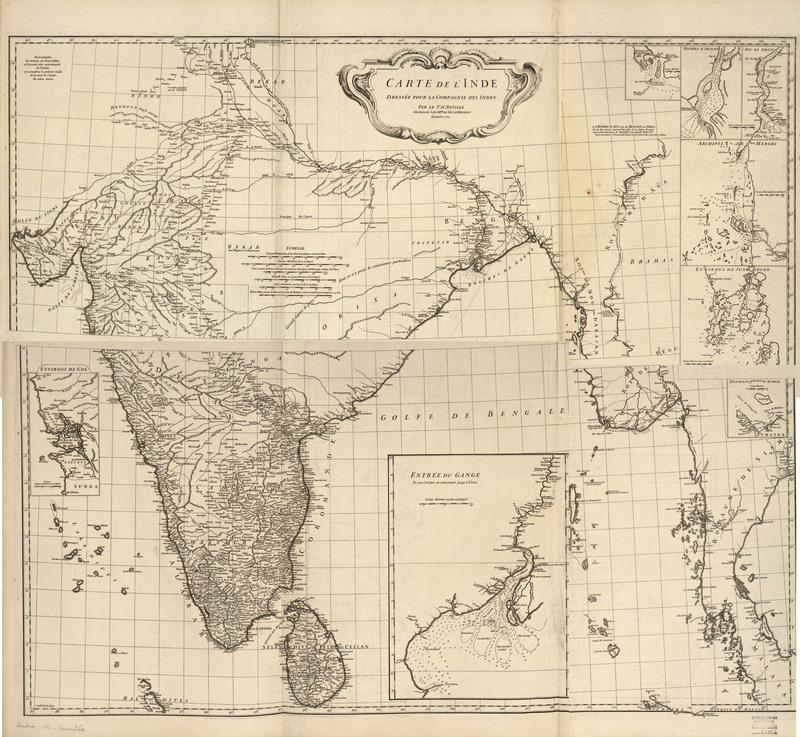
Carte de l'Inde : dressée pour la Compagnie des Indes, 1752
D’Anville is considered by many to be the first scientific mapmaker, and this map is a great example of this. There are no decorative elements, information is more sparse (only the facts), and it is more geographically accurate. D’Anville used many sources of information to obtain this accuracy and Rennell was able to check these sources for his own maps twenty-five years later. Originally this map was so large it was divided horizontally and printed on two separate sheets. Using Photoshop, we have been able to knit the two images together into one map. However, it is interesting to think about how limitations in storage and transportation once affected the printing of maps.
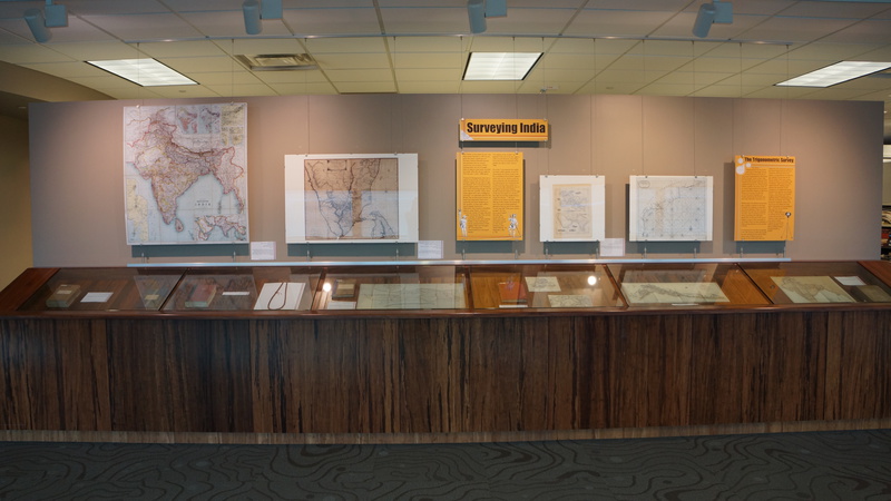
The Survey of India
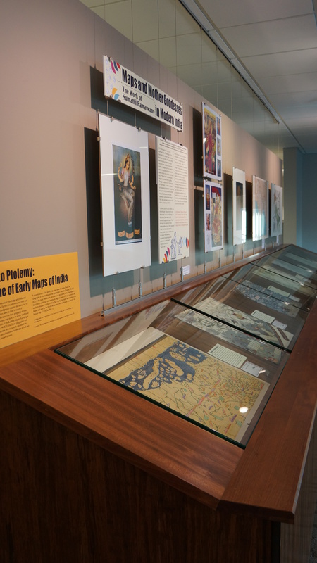
Al-Idrisi to Ptolemy: Early Maps of India

