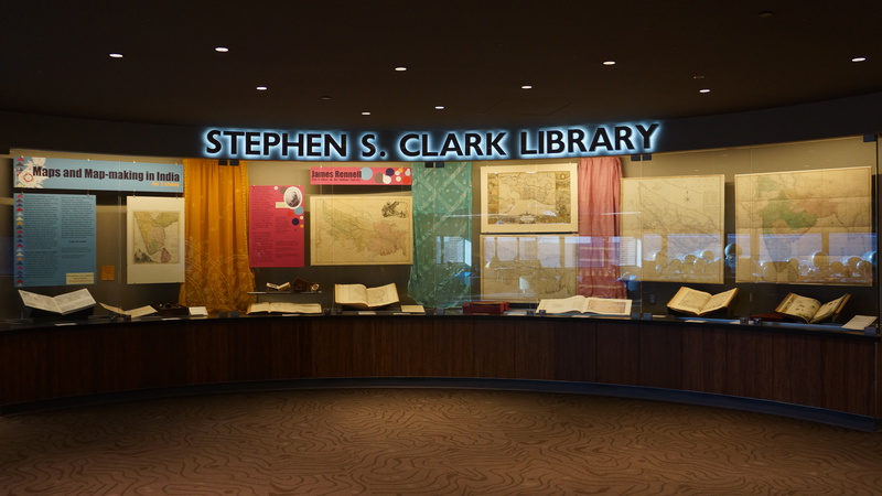
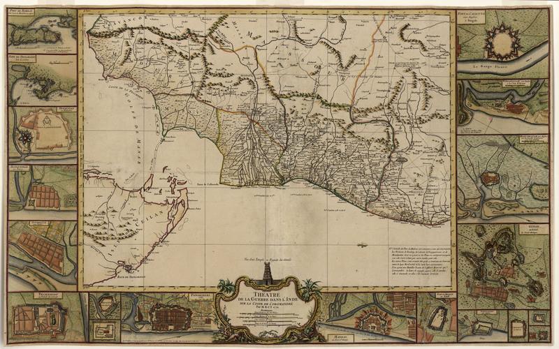
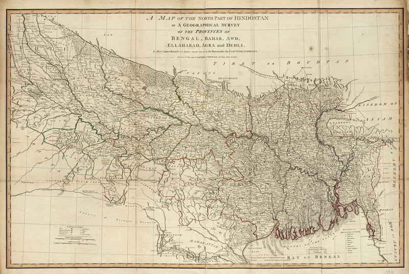
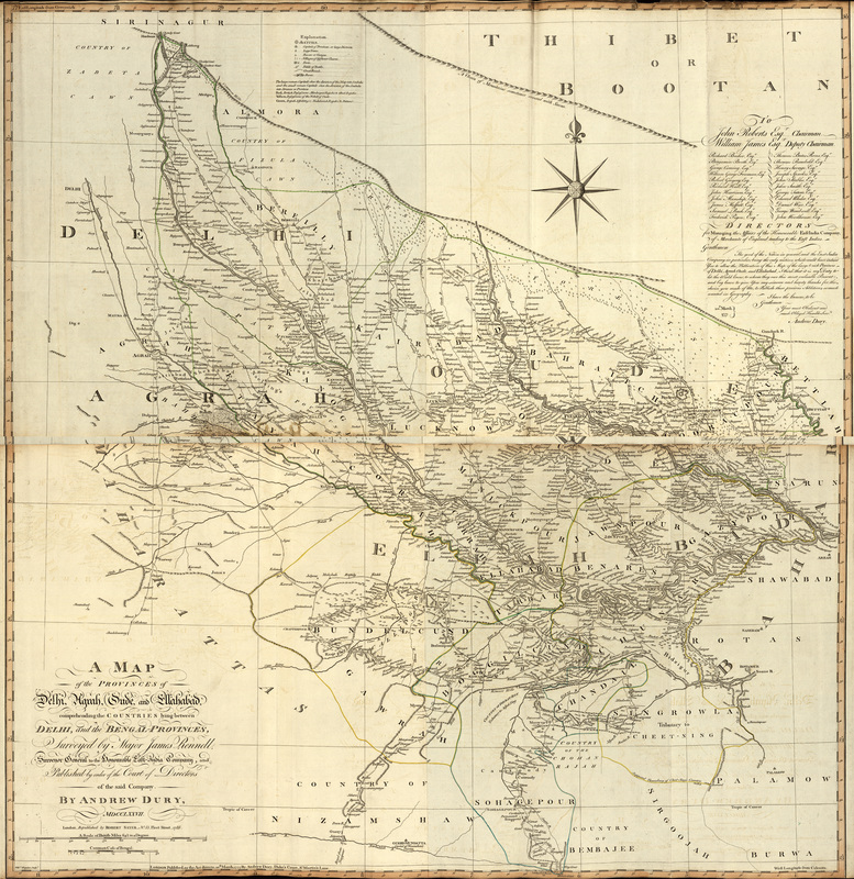
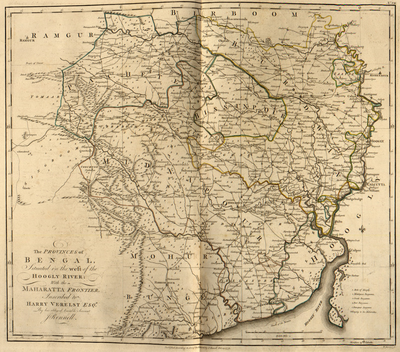
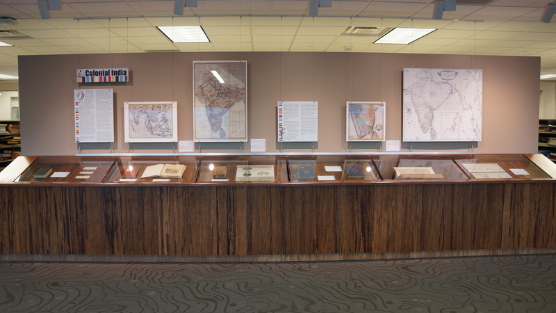
Gallery
Browse all images in this exhibit by section and by the order they appear within each section.
The University of Michigan Library has placed copies of these works online for educational and research purposes. For more information about using images from this exhibit please see the Rights Statement.
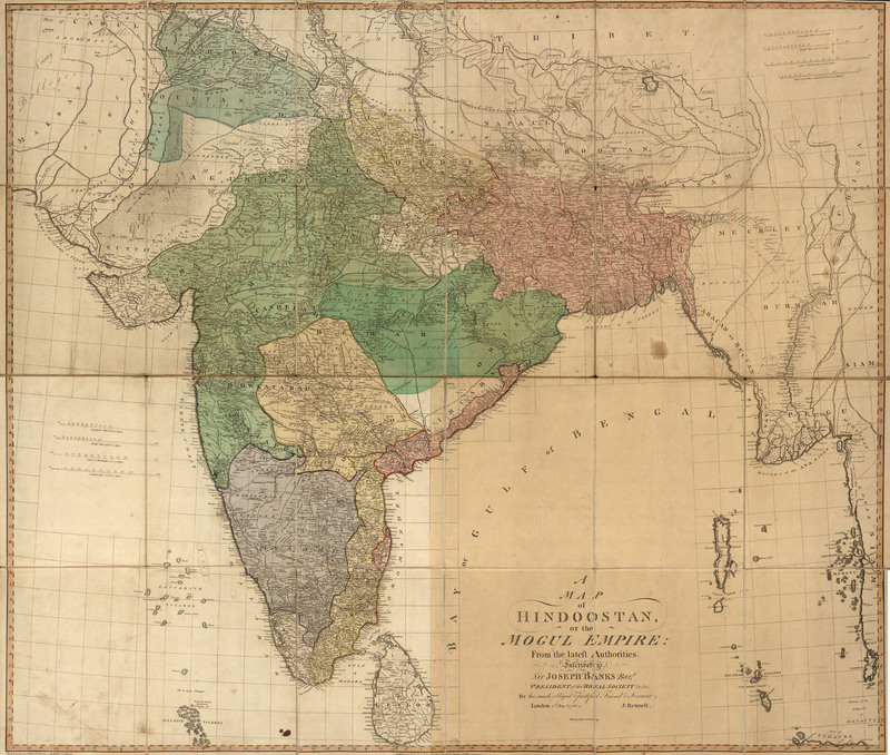
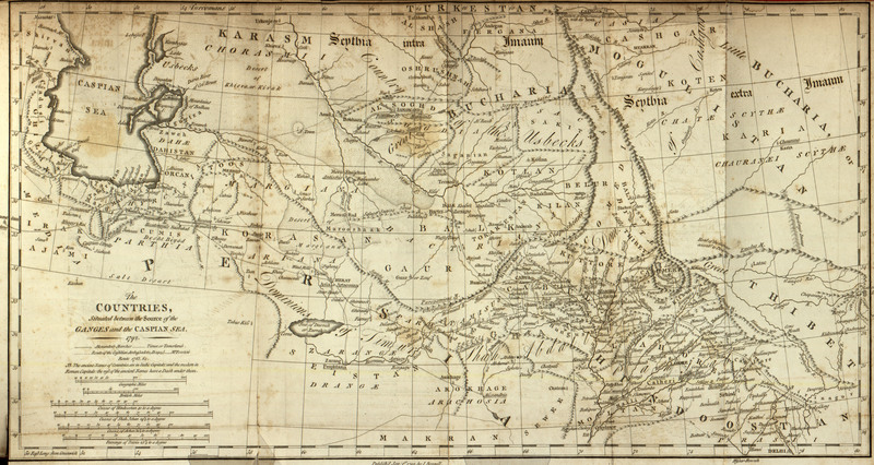
James Rennell: The Father of the Indian Survey
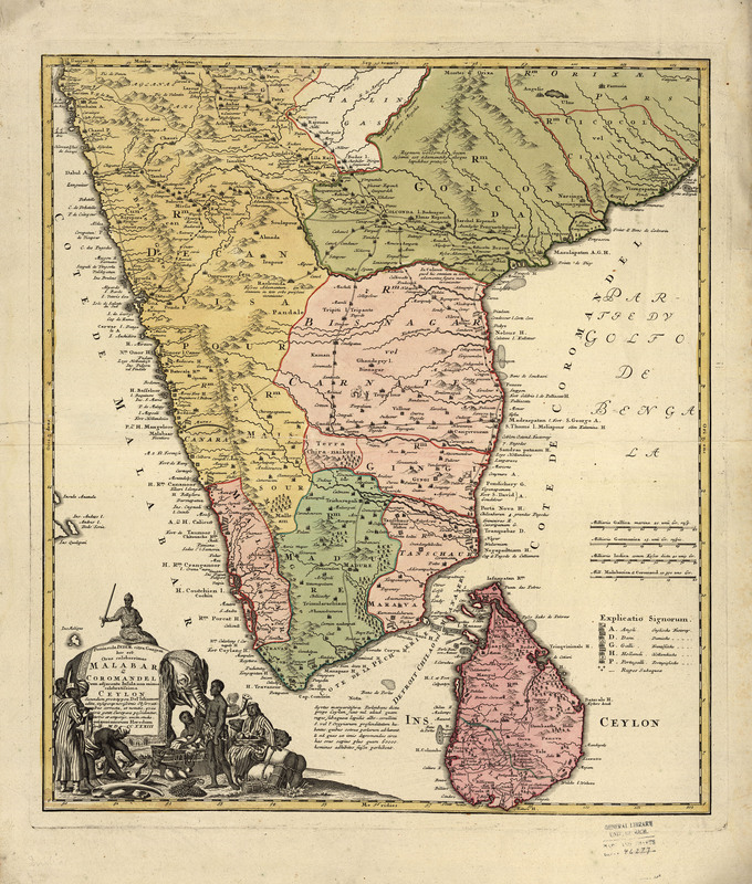
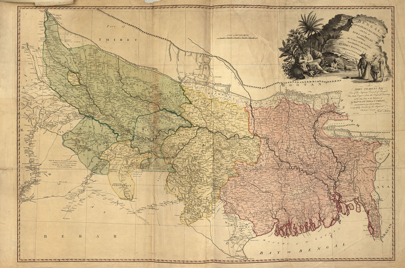
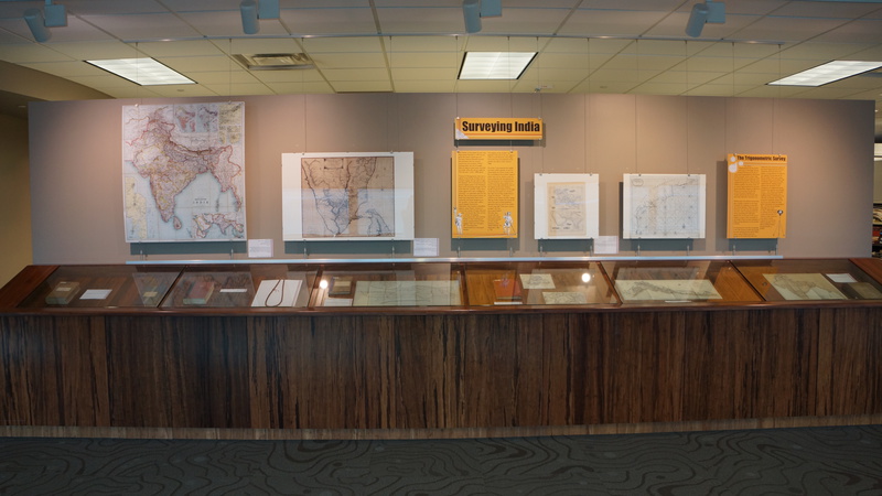
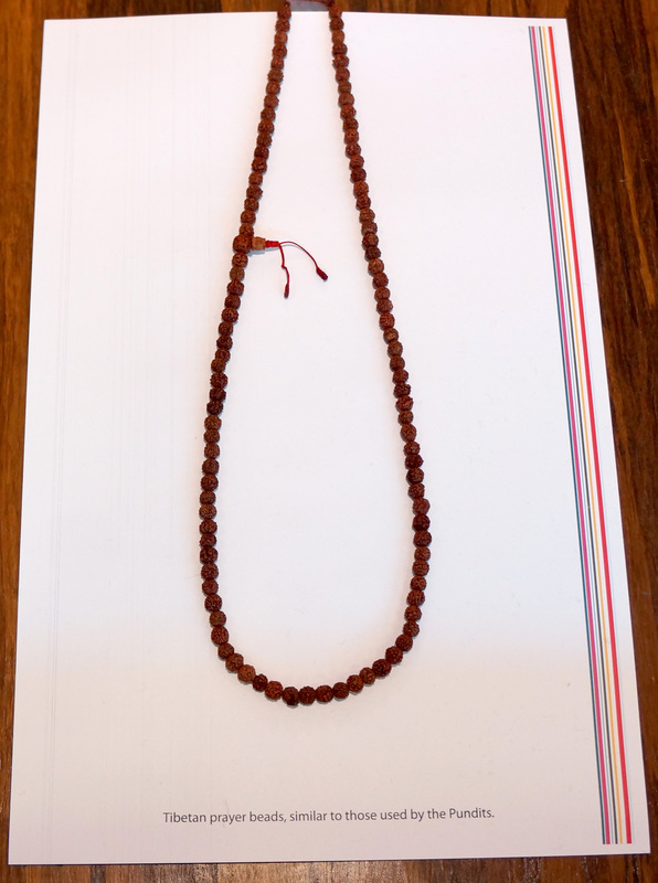
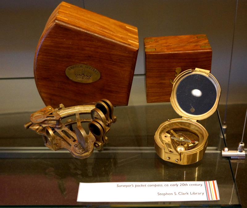
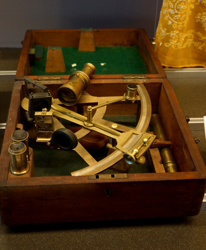
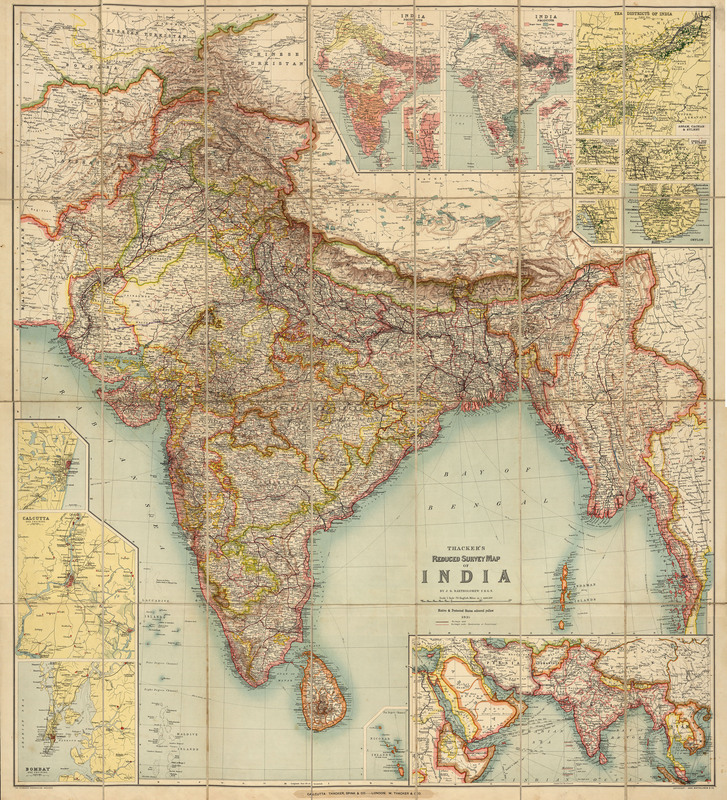
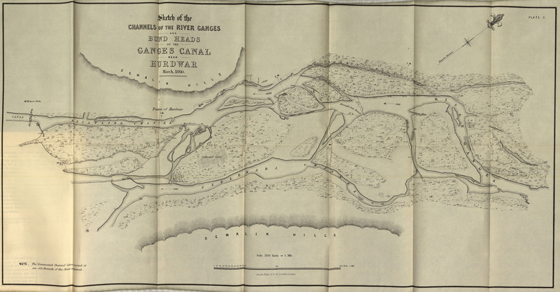
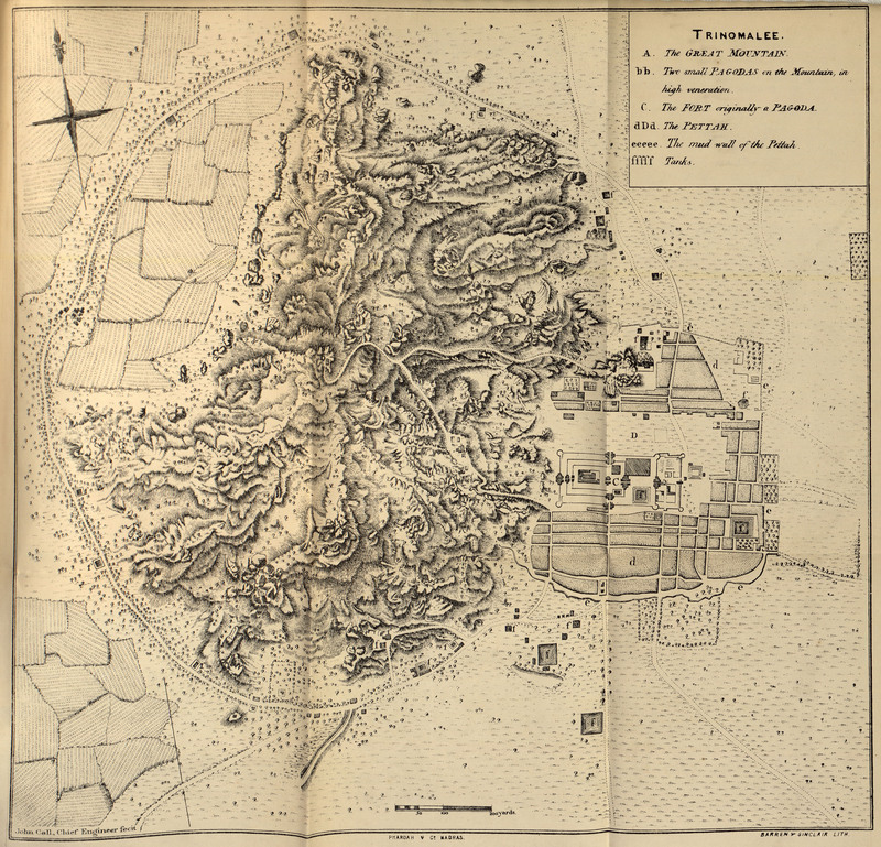
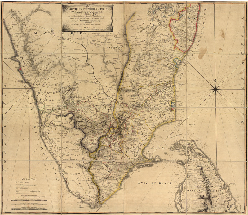
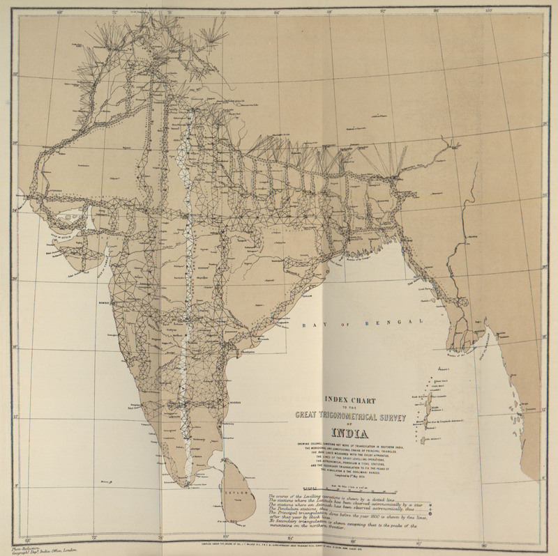
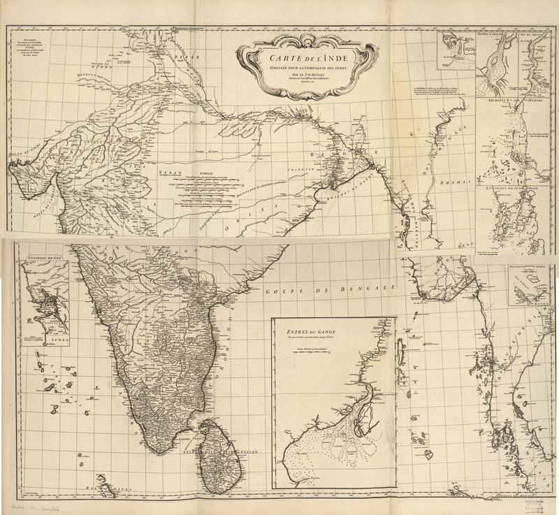
The Survey of India
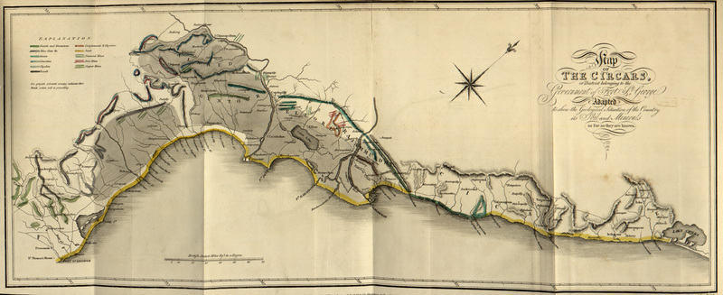
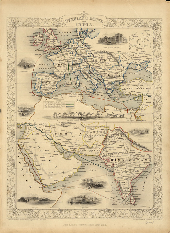
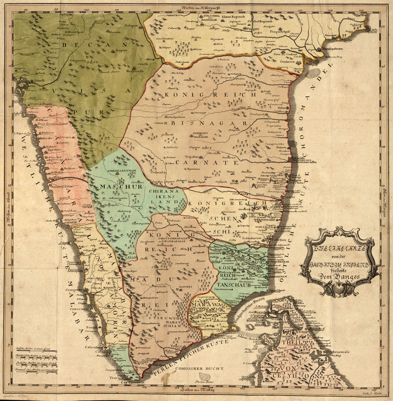
Colonization
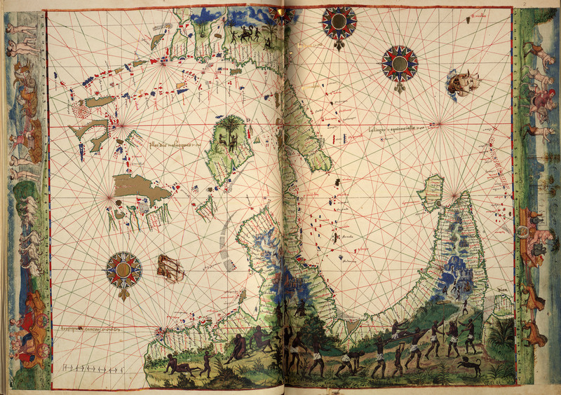
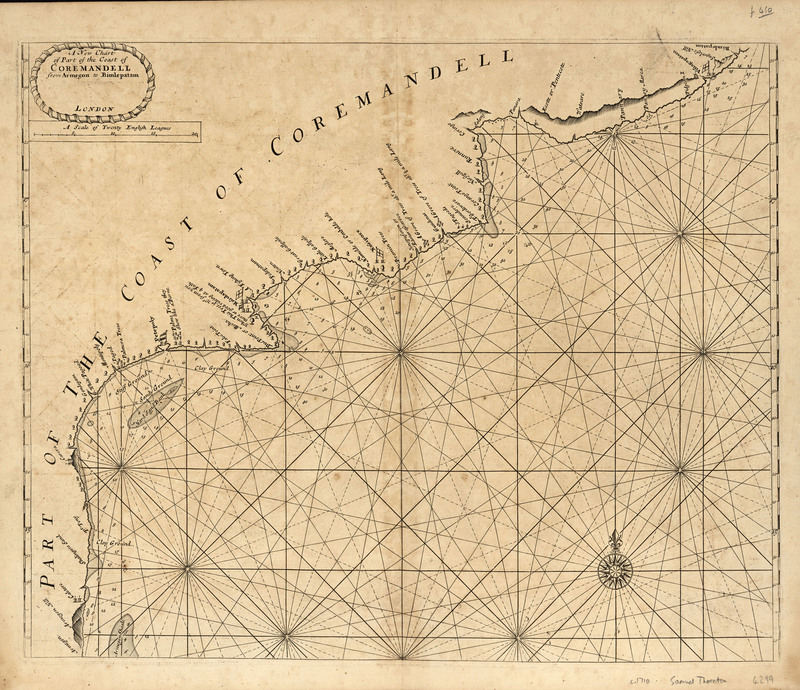
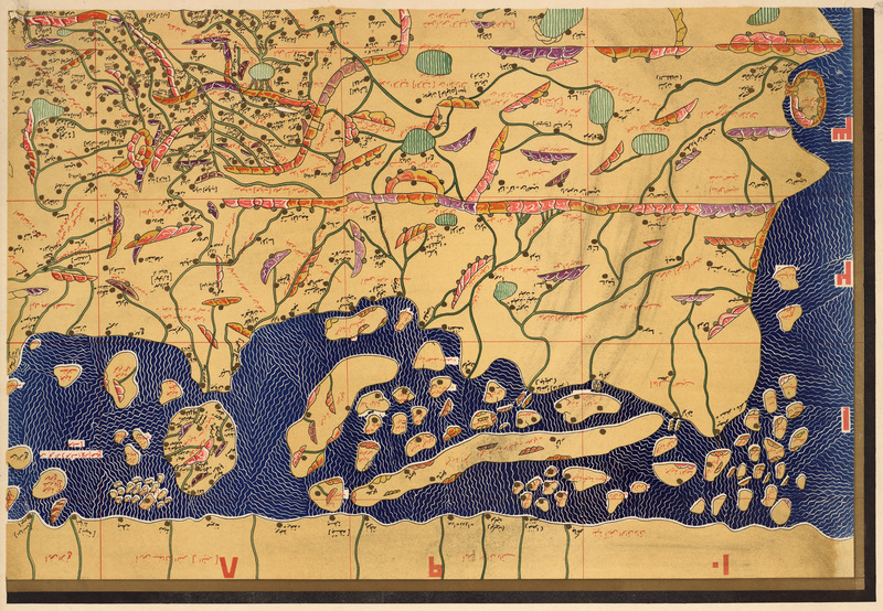
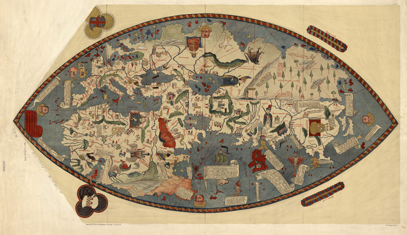
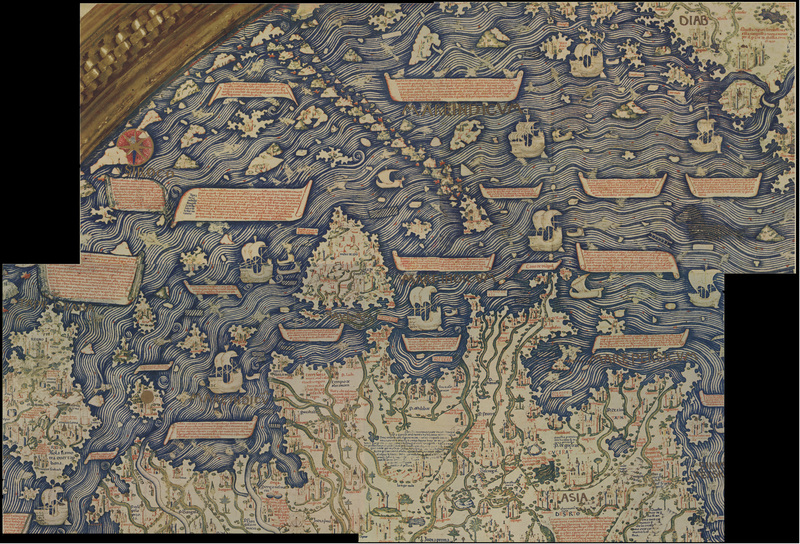
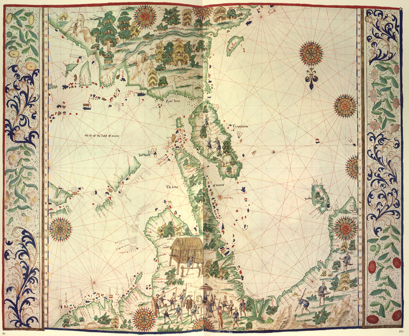
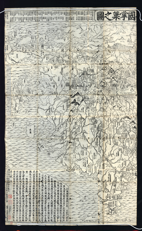
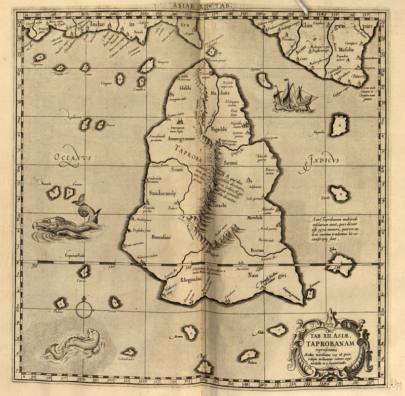
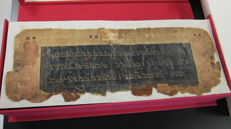
Al-Idrisi to Ptolemy: Early Maps of India
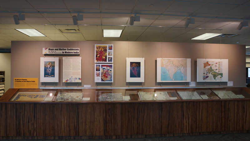
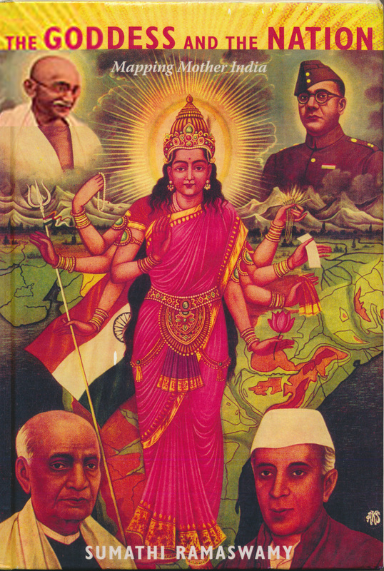
Sumathi Ramaswamy's Research and Mother India
About This Exhibit