Colonial Maps
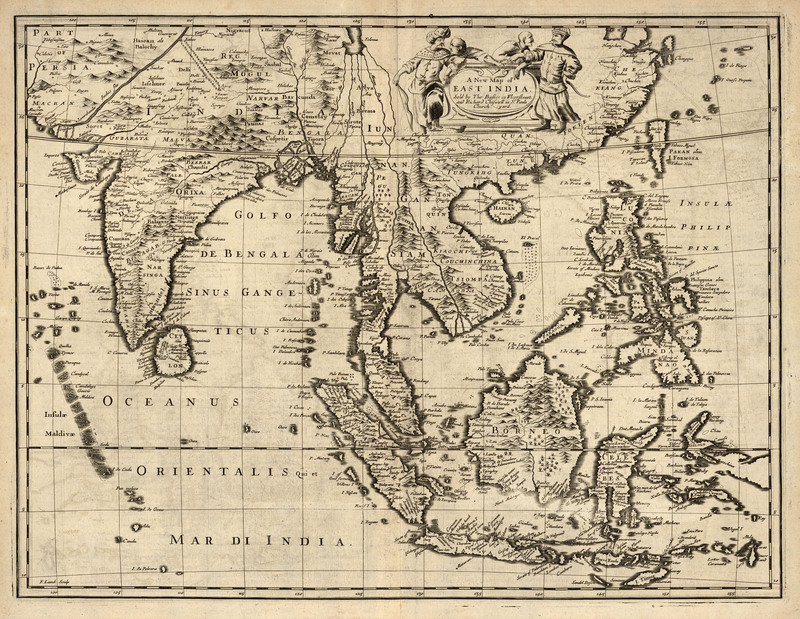
A New Map of East India, 1676
This is a single plate from John Speed’s 1676 Atlas, A Prospect of the Most Famous Parts of the World. It shows the East Indies, covering India, Burma, Siam, the Malayan Peninsula, Indonesia, and the Philippines. On the back there is a detailed description of India, in English. This map is also available in an electronic version via the Internet at: http://nla.gov.au/nla.map-rm310.
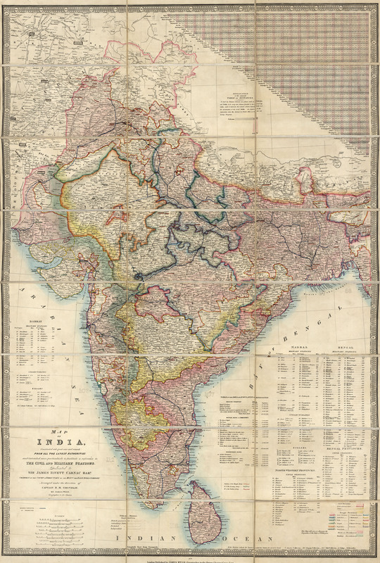
Map of India: Constructed with Great Care and Research from All the Latest Authorities and Intended More Particularly to Facilitate a Reference to the Civil and Military Stations, 1876
According to the inscription: "This map will serve to illustrate the Dispatches of the Duke of Wellington." It shows the routes of completed railways; table of distances; a table of the area and population of Hindoostan; lists of military stations, civil stations, collectorates, and zillahs; and distances to civil and military stations. The map is: “Dedicated to Sir James Rivett Carnac Bar[one]t, chairman of the Court of Directors of the Hon[ora]ble the East India Company."
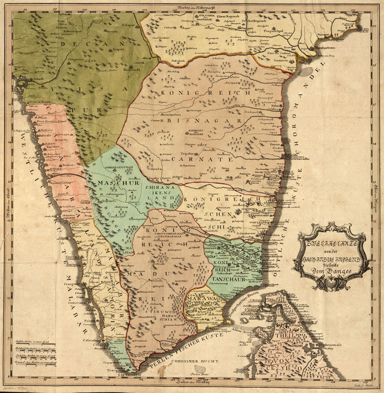
Special-Carte von der halb-insel Indiens dieserts dem Ganges, 1740
This German map was originally drawn for Kurtzgefasste Missions Geschichte v.1. The foreword states that the map is improved from De L'Isle's. It includes pictorial images of animals and trees.
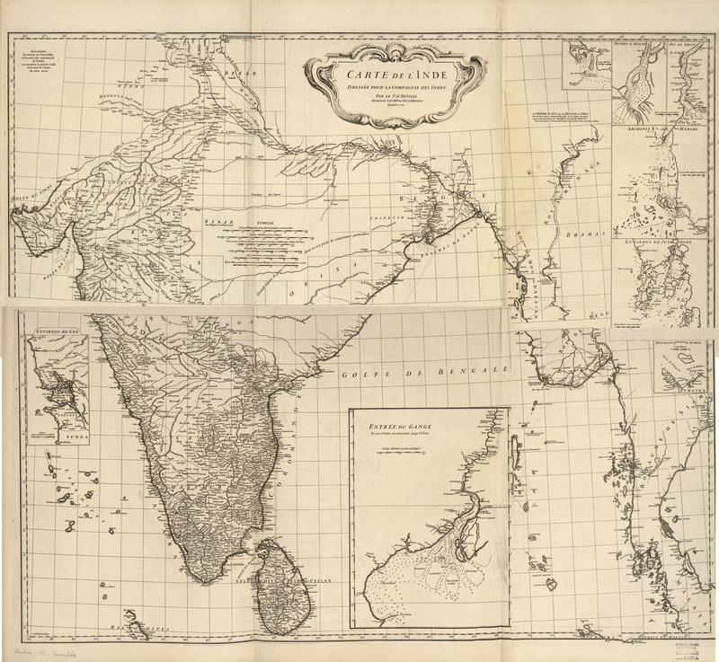
Carte de l'Inde : dressée pour la Compagnie des Indes, 1752
D’Anville is considered by many to be the first scientific mapmaker, and this map is a great example of this. There are no decorative elements, information is more sparse (only the facts), and it is more geographically accurate. D’Anville used many sources of information to obtain this accuracy and Rennell was able to check these sources for his own maps twenty-five years later. Originally this map was so large it was divided horizontally and printed on two separate sheets. Using Photoshop, we have been able to knit the two images together into one map. However, it is interesting to think about how limitations in storage and transportation once affected the printing of maps.
Great Britain's Effect