Browse Exhibits

Explore and discover inspiring collections of art, literature, culture, and history

Browse by Popular Tags

Browse all 6 exhibits with "Maps" tag

Creating a Campus: A Cartographic Celebration of U-M's Bicentennial

Welcome to Creating a Campus: A Cartographic Celebration of U-M’s Bicentennial. In honor of the University of Michigan’s 200th birthday in 2017, this exhibit presents the story of the evolution of the campus, from before its establishment in Ann Arbor to 1963. Drawing on maps, plans, photos and…

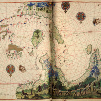
The Geography of Colorants

“Today the list of colorants manufactured industrially covers nine thousand pages in nine volumes of the Colour Index International, the bible of dyers and colorists. Here these bright, synthetic earths have no fanciful names but are catalogued uncompromisingly by hue, use, and a number denoting the…

Mr. Vignaud's Maps: Unraveling a Cartographic Mystery from the Golden Age of Dutch Cartography

Mr. Henry Vignaud (1830-1922), an American diplomat who lived in Paris during the late 19th and early 20th centuries, amassed a large personal library, including books, atlases, maps, and other publications. In 1923 the University of Michigan acquired his library, dividing his map collection between…

Pagination