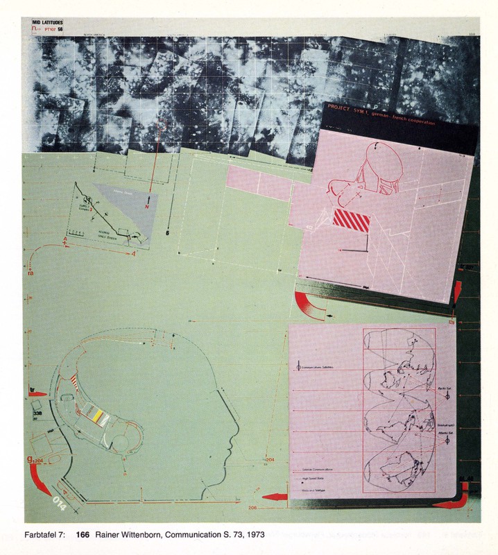
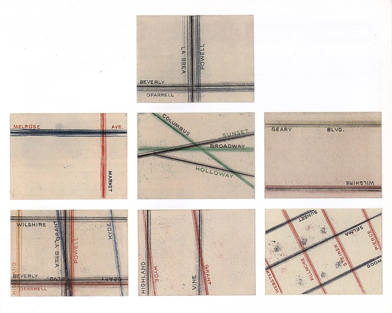
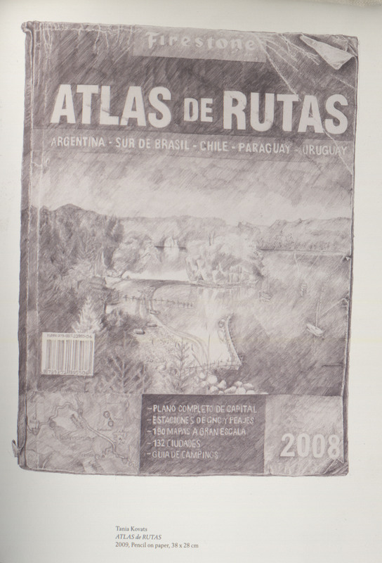
Gallery
Browse all images in this exhibit by section and by the order they appear within each section.
The University of Michigan Library has placed copies of these works online for educational and research purposes. For more information about using images from this exhibit please see the Rights Statement.
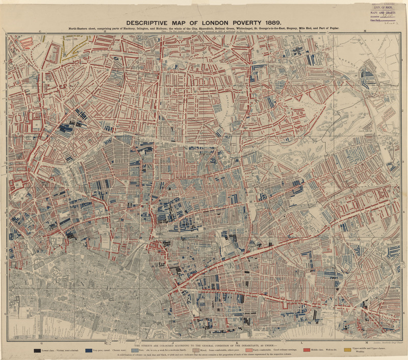
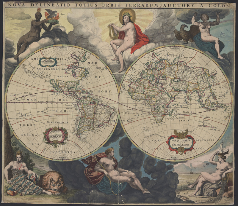
A Brief History of Color in Maps
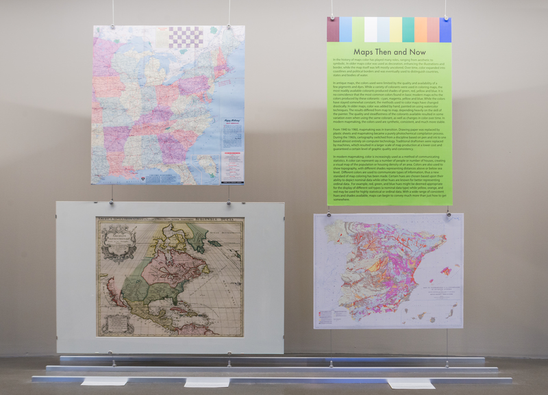
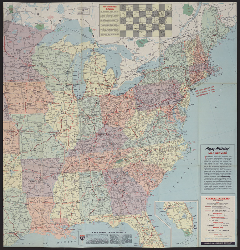
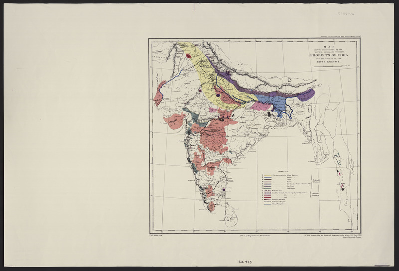
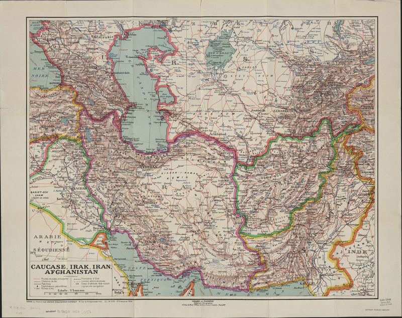
Maps Then and Now
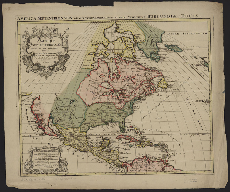
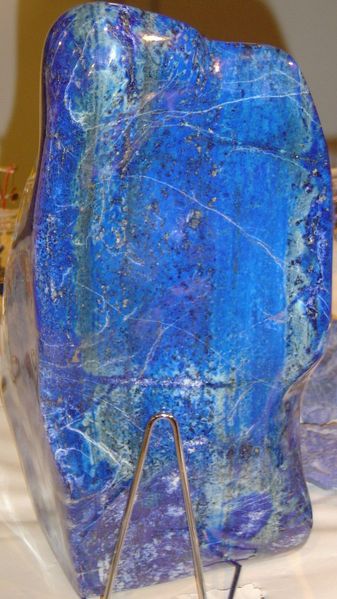
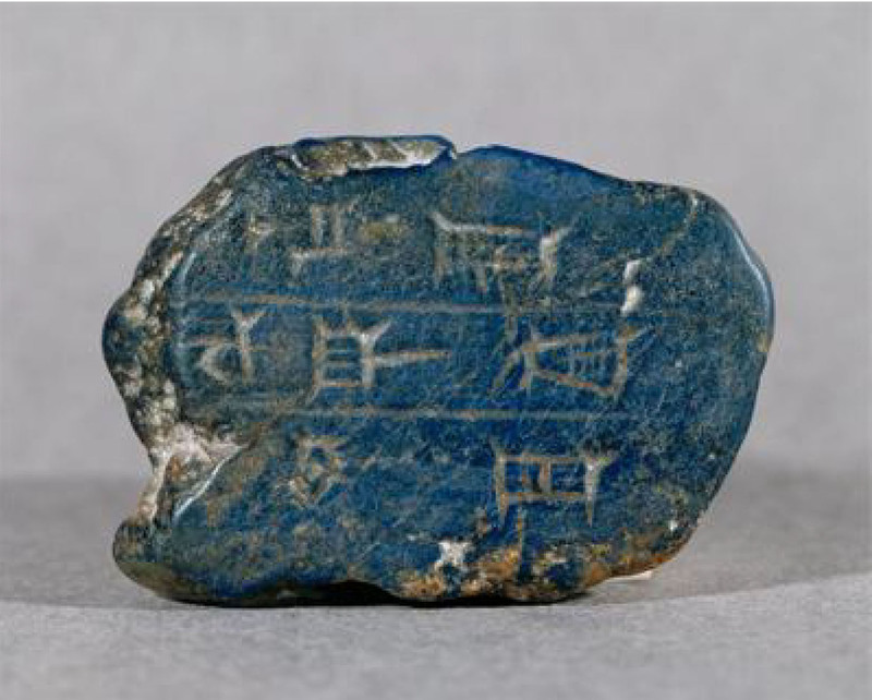
Colors From Around the World


About This Exhibit